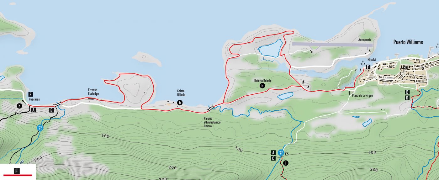
Coastal walk
An easy walk to discover sea birds, an ancient estancia and the remains of the Beagle conflict between Chile and Argentina in 1978. Preferably to be done by bicycle.
From Williams, get off on the coastal road and take it west (towards the airport), make a stop at the Micalvi yacht club. This former German cargo ship offered to Chile after a delivery of arms houses the harbour master’s office. After World War II it became a supply ship for the Chilean bases in this region. Feel free to enter the boat and go upstairs. The interior is beautiful. Take the coastal road again, you have seen the Dientes de Navarino in the valley bottom.
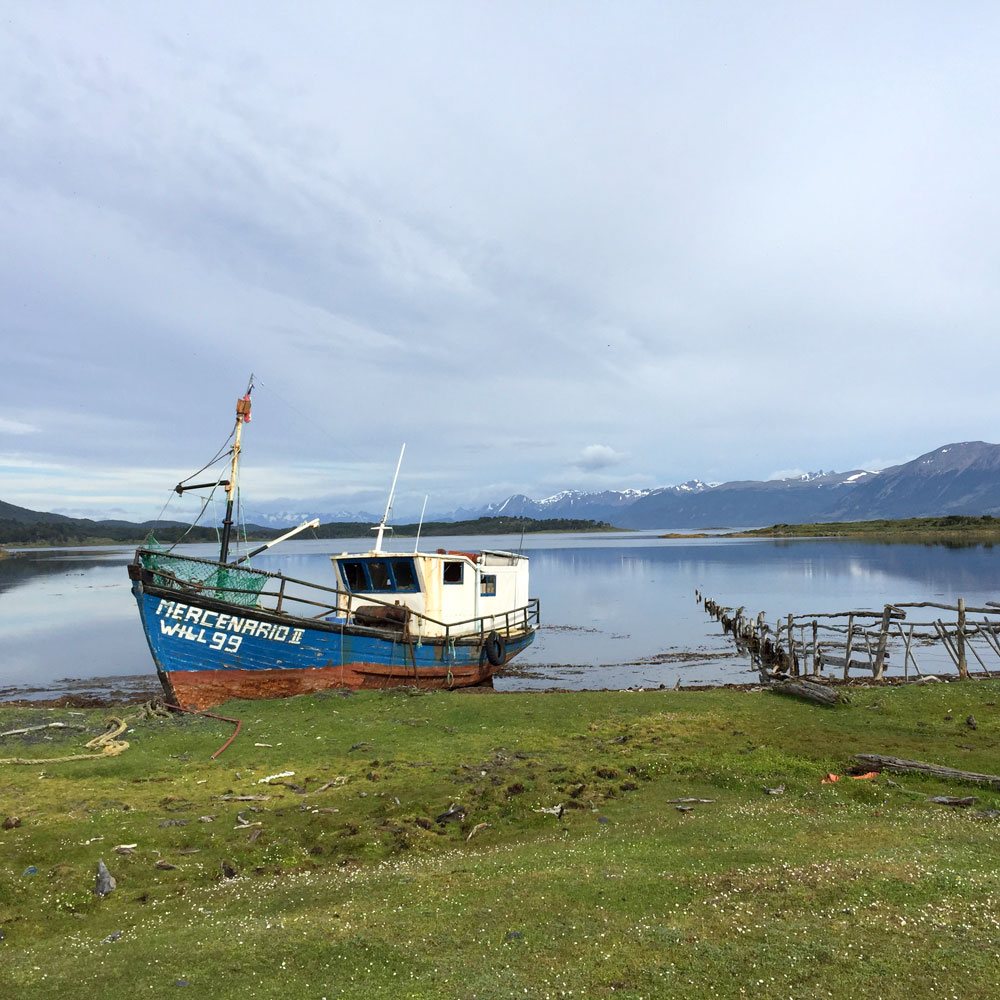
Then the journey to the junction of the airport offers may be of interest. Continue until the beach. There you will find remains of trenches, a multitude of birds and remarkable trees very photogenic.
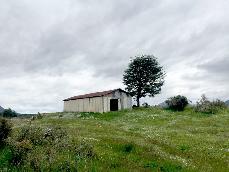
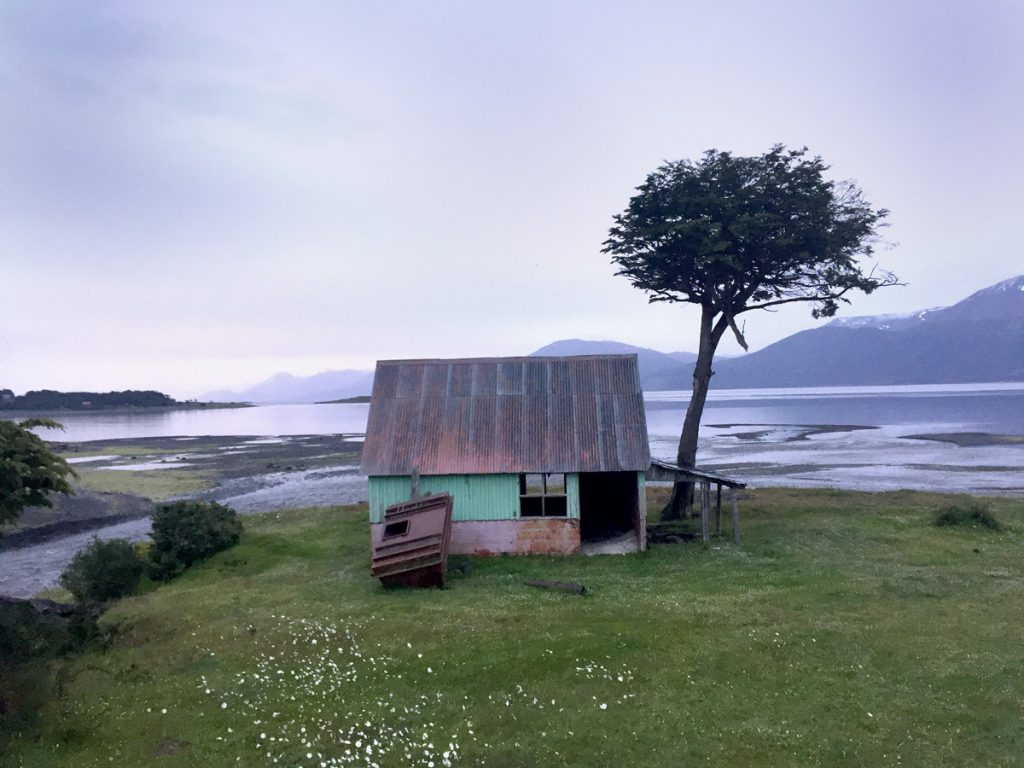
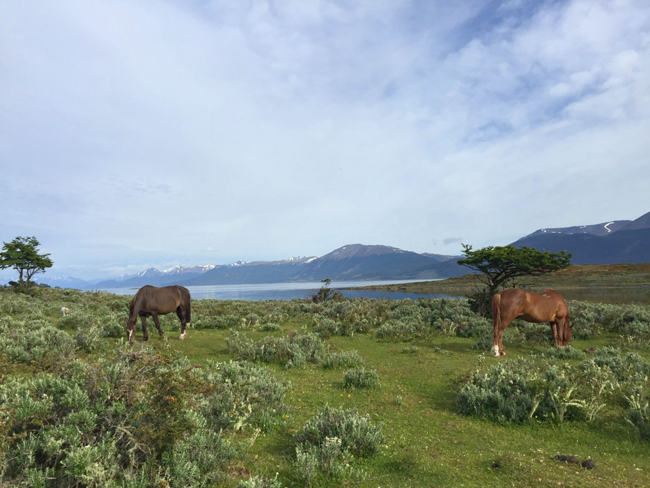
Continue along the coast to Omora Park, which offers guided tours of the miniature forest. If you wish you can drop your bike at the entrance of the park and continue on foot along the coast and the beautiful Robalo Bay. At low tide you can pass by the beach below the old Robalo estancia (founded at the end of the 19th century). If the sea is too high go up the road. You will find a small wooden bridge below the refuge ‘El cauque’ which allows you to cross the river and head towards the small peninsula. You will find yourself on an ancient Yaghan site, as evidenced by the many mounds along the shoreline. They are witnesses to thousands of years of shellfish fishing. Follow the pretty coastal path that runs along the coast, past the wandering El errante ecolodge, until the ancient pescera and the arrival of the Dientes trek.
For the return to Puerto William, pick up your bike and why not stop at the bateria Robalo located on your left on the way back. Witness the Beagle conflict between Chile and Argentina in 1978. This territorial dispute over the Lennox, Nueva and Picton islands almost provoked a war between the two countries, which are strategically located at the eastern outlet of the Beagle Channel south of Tierra del Fuego, offering maritime space and possible claims on the Antarctic Peninsula, of which they are the closest South American territories.
You must always inform people at your accommodation where you are going to walk.
The departure is from Puerto Williams.
Duration* : 6h
Ascending:80m
Distance* : 22km
Difficulty:2/5
 Find this hike on the map:
 Topographic map and hiking guide | Isla Navarino | Dientes de Navarino | Digital format Getting the map and GPS track