Isla
Navarino
Topographic map
and the southernmost hikes in the world
S 55°00’17’’
W 67°40’42’’
W 67°40’42’’
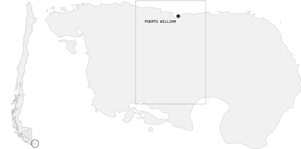
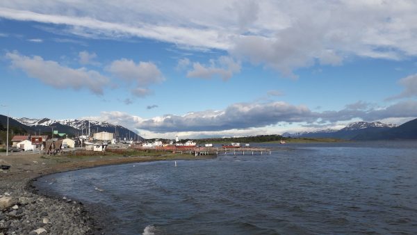
Isla Navarino is a Chilean island located between the Big Island of Tierra del Fuego, in the north, and Cape Horn, in the south. The island is part of the municipality of Cabo de Hornos and Puerto William is the southernmost municipality of Chile and the world.
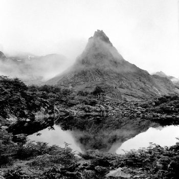
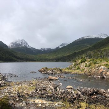
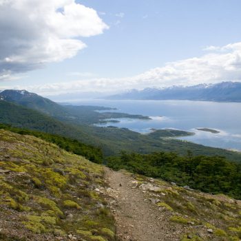
It is a great starting point for breathtaking hikes.
But the island is not just about the famous Dientes de Navarino.
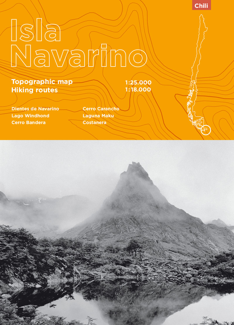
Paper & PDF Version
Format 50,4 × 71,41 cm / double-sided
8 hikes
Scale 1:25000 & 1:18000
Level curves at 10m
Provided with GPS tracks
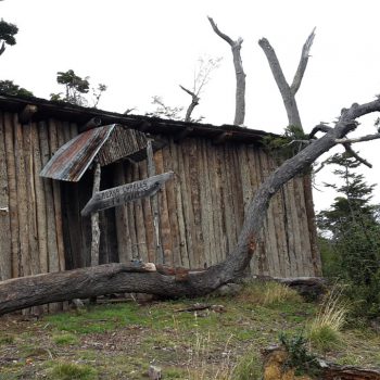
Fishing / Camp / Refuge

The small orange balls that can be seen in clusters on the branches of trees from November to early January are parasitic fungi: dykes. They grow exclusively on Nosthofagus. Outside the season, the trees show characteristic deformations on the branches or trunk.

The southern summer of 2019/2020 was particularly favourable for observing Orcas in the Beagle Channel.
Tout sur le village, les hébergements, les restos, les dernières nouvelles… Par ici!