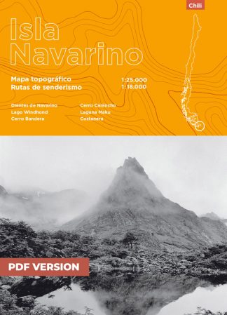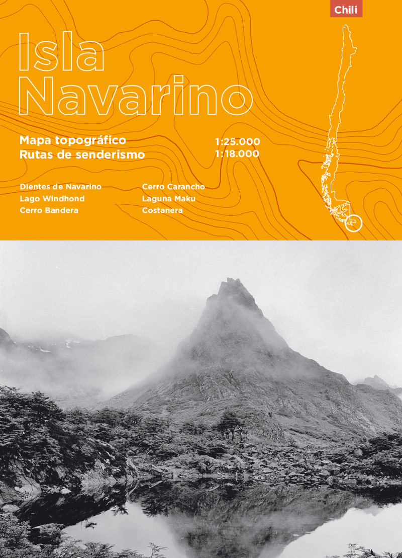
Topographic map and hiking guide | Isla Navarino | Paper + PDF format
11,90€
This pack includes :
- The paper version of the map (espagnol language & delivery costs not included)
- Digital version of the map (espagnol language & high-definition PDF)
- GPS tracks of the walks (GPX format)
Technical information :
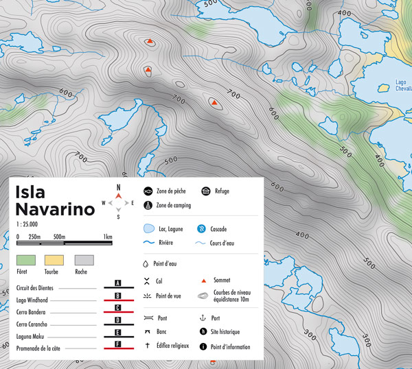
- Colour card made from waterproof and tear-resistant paper (Stone paper)
- Format 50.4 × 71.41 cm – recto/verso
- Spanish language
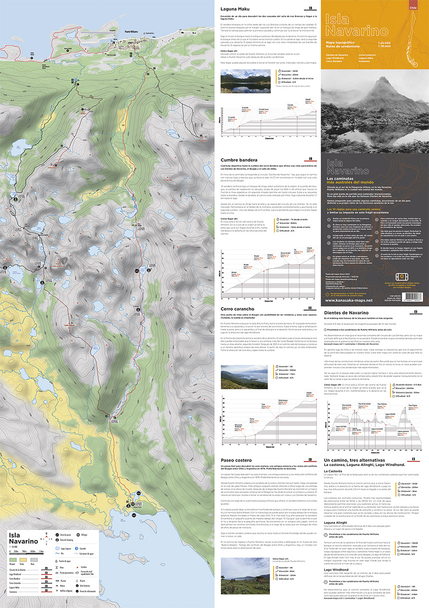
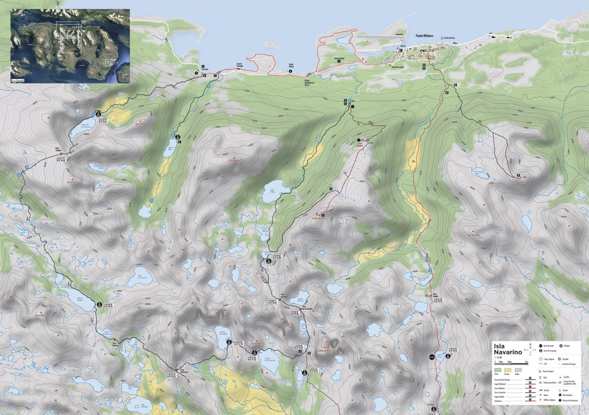
- 8 hiking trails
- Scale 1:25000 & 1:18000
- Free access to GPX tracks
- 10m contour lines
- Fishing / Camping / Refuge
Hiking :
- Dientes de Navarino
- Lago Windhond
- Cumbre bandera
- Laguna Maku
- Laguna Alinghi
- La castorea
- Promenade de la côte
- Cerro Carancho
Language
- Espagnol
Spécifications
- Version 2
- Map date: January 2023
- Pseudo Mercator / WGS 84 projection
- Base map: OpenStreetMap.org
- Contours and shading: OpenSnowMap.org
- Terrain information: NASA/CNES/Airbus aerial and satellite images
Paper cards can be delivered to the following countries :
- Austria, Belgium, Bulgaria, Croatia, Cyprus, Czech Republic, Denmark, Estonia, Finland, France, Germany, Greece, Hungary, Ireland, Italy, Latvia, Lithuania, Luxembourg, Malta, Netherlands, Poland, Portugal, Romania, Slovakia, Slovenia, Spain and Sweden.
Not one of these countries?
You can buy a PDF version of the map
Out of stock