The earth
L’Isla Navarino
The island of Navarino is strategically located between Tierra del Fuego to the north and Cape Horn to the south. It is part of the municipality of Navarino, the southernmost of the country and the world, which belongs to the XII Magellanic Region and the Chilean Antarctic. It is the closest land base to the Antarctic continent. Its population is concentrated in the municipal capital, Puerto Williams, and in small towns such as Puerto Navarino, Caleta Eugenia, Puerto Toro and Yendegaia.
The Weather
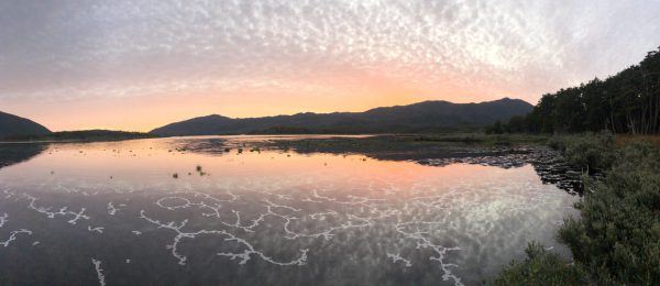
In the northernmost strip of the island of Navarino, where Puerto Williams is located, the average annual rainfall is 467 mm, with a temperature of 6ºC. The hottest month has an average temperature of 9.6ºC, and the coldest month 1.9ºC. The Argentinian city of Ushuaia has the same type of climate, with a slight increase in rainfall. In the southernmost band, rainfall increases to about 800 mm per year and temperatures decrease slightly. Precipitation is more or less evenly distributed over the year and some of it falls as snow. At the same time, in the vast southern strip of the island of Navarino, which covers the area of Lakes Navarino and Windhond, there is an increase in precipitation, a decrease in summer temperatures and an increase in winter temperatures under the effect of winds. It corresponds to a cold, snowy and isothermal climate with an average annual temperature variation of less than 5ºC, with a maximum monthly average of 8.8ºC and a minimum monthly average of 4.4ºC.
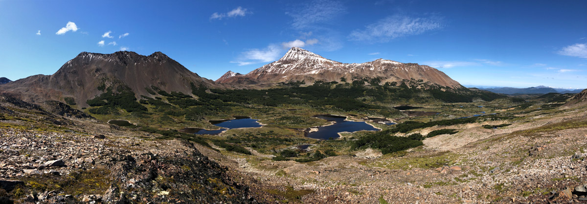
The relief
The flora
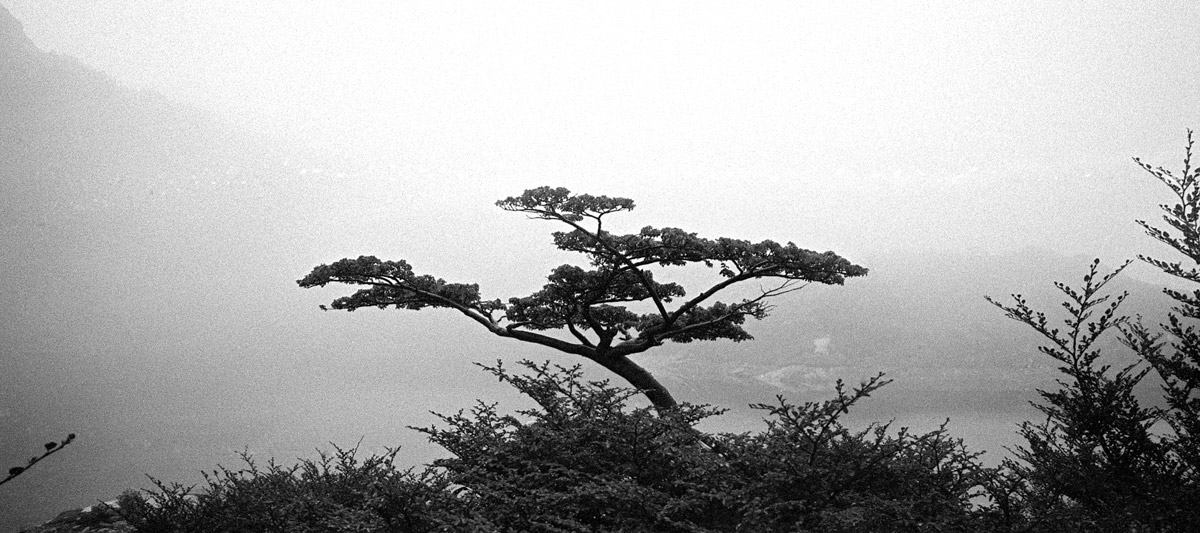
At the northern end of the island of Navarino, there is a type of vegetation characterised by the Magellanic deciduous forest, whose characteristic species are the lenga or Magellanic oak (Nothofagus pumilio), combined with the ñirre (Nothofagus antarctica) in the driest sites, the coihue de Magallanes (Nothofagus betuloides) in the wettest sites and areas of Magellanic peat and tundra in poorly drained land. Immediately to the south is the Magellanic evergreen forest, probably related to increased rainfall, higher elevation and improved soil drainage. The characteristic species is the coihue de Magallanes, which forms pure communities in higher altitude areas or on windward coasts. The southern part of the island, which surrounds lakes Navarino and Windhond, as well as the territories on the south coast, has Magellanic tundra vegetation. Finally, there is the Andean desert, which due to the effect of altitude, has vegetation without trees or high bushes. 30% of the island has this type of landscape. The Andean desert is located between 600 and 800 meters above sea level.